Hawaii drone laws sit at the intersection of federal airspace rules, park bans, and privacy-sensitive land use, so a legal flight is never just a matter of turning the aircraft on. What matters is whether the launch point, route, altitude, and landing spot all line up with the rules that apply to that exact place.
In Hawaii, that distinction matters because a scenic beach or volcanic overlook can sit inside land or airspace that is far less forgiving than it looks. In this guide, I break down what I would check before takeoff, how recreational and commercial flights diverge, and which places are off-limits or need extra permission.
The essentials at a glance
- Federal airspace rules still control altitude, airport access, and line-of-sight flying.
- State parks prohibit drones from being used, launched, or landed there.
- As of 2026, most registered drones must broadcast Remote ID.
- Recreational flying needs TRUST, while business use normally belongs under Part 107.
- Controlled airspace around airports needs prior authorisation before flight.
- In Hawaii, wind, cliffs, crowds, and protected land often matter as much as the rulebook.
The federal rules are your starting point
The FAA sets the baseline nationwide, and Hawaii does not replace it. In practical terms, that means the usual ceiling is 400 feet AGL, or above ground level, with visual line of sight, no reckless flight, and prior authorisation when you enter controlled airspace around airports.LAANC, the low-altitude authorisation and notification system, is the fast path when the map shows controlled airspace. Near airports in uncontrolled airspace, you may still be able to fly below 400 feet without prior authorisation, but you still need to avoid traffic patterns and takeoff or landing areas.
I treat that as the first filter, not the last one. Once the airspace question is clear, the next question is whether the land itself allows the flight.
What you need before the props spin
Before I fly, I sort the operation into one of two buckets: recreation or business. The paperwork is different, and the wrong bucket causes avoidable mistakes.
| Flight type | What you need | What it means in practice |
|---|---|---|
| Recreational | TRUST, registration if the drone requires it, proof of registration, and Remote ID if the drone is registered | Fly only for personal enjoyment, keep the drone within visual line of sight, and get airspace authorisation before entering controlled airspace |
| Commercial or Part 107 | Remote Pilot Certificate, registration for each drone, current recurrent training, and Remote ID for registered aircraft | Use the business rule set for paid work, client content, inspections, or tourism footage, with waivers only when needed |
Registration is still cheap compared with a bad flight. It costs $5 and lasts three years in both categories, but the recreational registration can cover all drones in your inventory, while Part 107 registration is per drone.
If you are flying commercially, the certificate is not optional, and you need to be at least 16 years old to qualify. As a practical rule, if the flight supports a business in any way, I assume Part 107 until proven otherwise.
That paperwork is straightforward once you know your category. The harder part in Hawaii is that the land rules can be stricter than the sky above them.
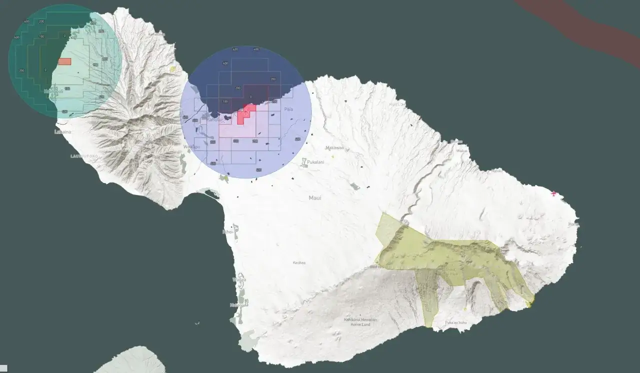
Where Hawaii is much stricter than the federal baseline
Hawaii DLNR's state park rules are blunt: drones may not be used, launched, or landed in state parks. That alone rules out a lot of attractive spots, especially beaches, overlooks, and trailheads that look open but are still part of protected land.National parks in Hawaii are also generally closed to drone takeoff and landing unless you have written approval. The point that catches people out is simple: legal airspace does not automatically mean legal launch rights.
| Location type | Typical status | What I would do |
|---|---|---|
| State park land | Drone use, launch, and landing are prohibited | Do not fly there unless the land manager has granted a very specific exception |
| National park land | Usually prohibited | Assume no unless you have written approval |
| Private land or resort property | Depends on the owner | Get written permission for launch and landing, even if the airspace itself is legal |
| Commercial filming on state land | Permit-based and case by case | Build in time for the permit package and expect a separate drone application |
For commercial filming, I would not plan as if approval will happen overnight. A complete drone application can be reviewed case by case, and the practical turnaround can be at least 14 business days, which is the kind of delay that ruins a rushed shoot.
That boundary is where recreational and commercial flights start to diverge in practical terms, so the next step is deciding which rule set actually fits the mission.
Recreational flying and paid work are not the same
People often blur these together because the drone looks identical either way. The law does not care what the airframe looks like, it cares what the flight is for.
| Question | Recreational flight | Commercial flight |
|---|---|---|
| What is the flight for? | Personal enjoyment | Work, business, client delivery, inspections, or promotion |
| Core requirement | TRUST and the recreational rule set | Remote Pilot Certificate and Part 107 compliance |
| Registration | Required if the drone needs it, with one registration covering the inventory | Required for each drone |
| Remote ID | Required for registered drones | Required for registered drones |
| Altitude and airspace | 400 feet in uncontrolled airspace, with prior authorisation for controlled airspace | 400 feet AGL unless another rule or waiver applies, with airspace authorisation where needed |
| Advanced operations | Limited by the recreational rule set and local land rules | Night, over-people, and some other operations can be allowed when the conditions are met |
What I tell clients is simple: if the flight is tied to a brand, a property listing, a tourism package, or paid content, treat it as a business operation. That conservative approach avoids the common mistake of trying to use the lighter recreational rules for work that clearly does not belong there.
Once the category is correct, the last job is to build a flight plan that can survive real Hawaii conditions instead of just a clean checklist.
A flight plan that actually works in Hawaii
I plan a Hawaii flight the same way I plan a security-sensitive deployment: location, permissions, conditions, documentation. VLOS means visual line of sight, and AGL means above ground level, so the two numbers that matter most are what you can see and how high you are from the ground beneath you.
- Check airspace first. If the map shows controlled airspace, request authorisation before you leave home.
- Check land status second. A legal airspace is useless if the launch site is on prohibited park land.
- Check TFRs, or temporary flight restrictions, on the day of flight. Emergencies and special events can change the answer fast.
- Check wind and visibility. Hawaii's ridges, coastlines, and trade winds can turn a legal flight into a bad one very quickly.
- Carry the documents that prove compliance, including TRUST proof or a remote pilot certificate, registration, and any permit.
- Keep distance from people, wildlife, roads, and helicopters. The shot is not worth a near miss.
I also pay attention to salt spray and sudden gusts, because those are the kind of operational details that do more damage than a rulebook ever will. Once the flight plan holds up in real weather, the remaining problem is usually the pilot, not the policy.
The mistakes that follow are usually predictable, and most of them are avoidable.
The mistakes that cause most violations
The mistakes I see most often are boring, and that is exactly why they keep happening. Pilots assume a beach is public and therefore open, launch from state park land because the shoreline looks empty, forget Remote ID or proof of registration, and then discover that the law does not care how good the footage was meant to be.
- Assuming a scenic shoreline is automatically legal to launch from. Public access and drone access are not the same thing.
- Using the wrong rule set. Recreational habits do not automatically carry over to paid or client work.
- Skipping registration proof or TRUST proof. If asked, you should be able to show that you complied.
- Entering controlled airspace without authorisation. The drone may fly there physically, but that does not make it legal.
- Ignoring the environment. Strong wind, cliffs, and crowded lookouts are not background details, they are operational risks.
I would add one more habit to that list: do not let scenery distract you from altitude. In Hawaii, ridgelines and helicopters can appear faster than people expect, and a drone that starts as a harmless shot can become a recovery job in seconds.
The three checks I would never skip before a Hawaii flight
Before takeoff, I ask three questions: is the airspace clear, is the land manager allowing launch and landing, and does my mission fit the correct rule set? If all three answers are yes, I can usually fly with confidence.
- Airspace, meaning the class, airport proximity, and any required authorisation.
- Land, meaning whether the spot is a park, trail, beach, private property, or permit-only location.
- Mission, meaning whether the flight is recreational or commercial and whether the right documents are in hand.
If one answer is unclear, I stop and verify it, because in Hawaii the cheapest compliance fix is the one you make before the motors start.