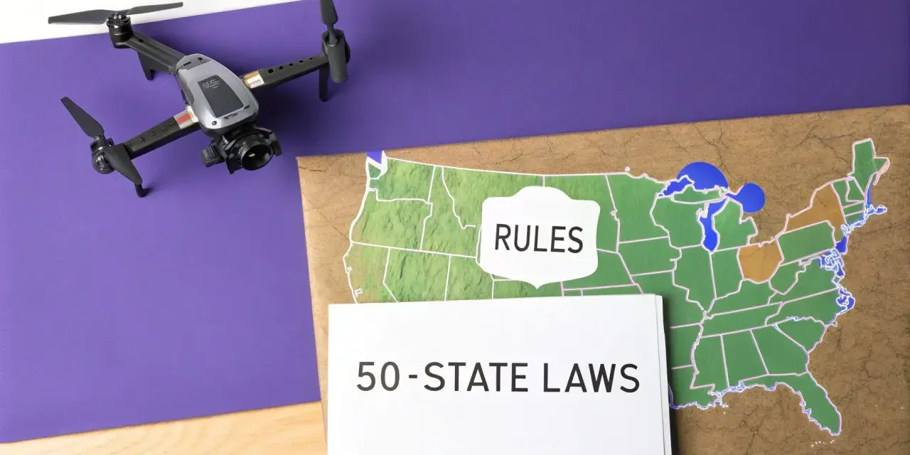
Utah drone laws are easiest to understand when you separate airspace rules from land rules. The FAA controls the core flight requirements, Utah adds a few state-specific limits, and parks or property managers can tighten things further. If you know which layer applies first, you avoid the mistakes that usually lead to fines, grounded flights, or a wasted day in the field.
The fastest way to stay legal is to check airspace, registration, and the land manager before takeoff
- Recreational flights usually require TRUST, visual line of sight, and FAA registration if the drone weighs 250 grams or more.
- Commercial flights usually fall under Part 107 and require a Remote Pilot Certificate.
- Utah now adds a state registration layer for certain commercial operations, so compliance is no longer only a federal question.
- National parks are the easiest place to get this wrong because launch and landing are generally prohibited there.
- State parks are inconsistent: some allow drones with permits, others ban them seasonally or limit them to specific zones.
The rules that matter most are federal, state, and site-specific
I treat every drone flight in Utah as a three-part check. First comes the federal layer, which covers certification, airspace, altitude, registration, and Remote ID. Then comes Utah law, which adds a few statewide restrictions and a commercial registration requirement. Last comes the land manager, because a place can be legal in the air and still off-limits on the ground.
| Layer | What it controls | Why it matters |
|---|---|---|
| Federal FAA rules | Recreational and commercial flight rules, altitude, airspace, registration, Remote ID, and certification | This is the baseline every Utah pilot inherits |
| Utah state law | Commercial registration, weapon restrictions, and preemption of many local rules | This is where Utah adds its own compliance layer |
| Land manager rules | Parks, permits, seasonal closures, launch zones, and privacy-sensitive areas | This is where most practical flying problems happen |
The useful mental model is simple: FAA rules tell you whether the flight is lawful in the air, and the land manager tells you whether you are allowed to launch from that place at all. Once that split is clear, the rest of the map becomes much easier to read.
Federal rules still do most of the heavy lifting
According to the FAA, recreational flying and commercial flying are different legal categories, and the difference matters more than most new pilots expect. If you fly for fun, you need TRUST, you must keep the drone within visual line of sight, and you must register the drone if it weighs 250 grams or more. If the drone is lighter than that and you are flying purely for recreation, FAA registration is usually not required.
For most small drones, the recreational baseline is straightforward: stay at or below 400 feet in uncontrolled airspace, get authorization before flying in controlled airspace, and carry proof of TRUST and registration when required. Remote ID is also part of the modern compliance picture for drones that must be registered, unless you are operating in a FRIA, which is a rare exception rather than the norm.
| Recreational flying | Commercial flying under Part 107 |
|---|---|
| TRUST required | Remote Pilot Certificate required |
| Register if the drone is 250 g or more | Register small drones used for work or business |
| Visual line of sight is required | Visual line of sight is the default, with waivers for some advanced operations |
| 400 feet max in Class G airspace | Controlled airspace still needs authorization; some advanced flights may be allowed under specific Part 107 rules |
| Good for personal enjoyment only | Designed for work, business, inspections, filming, and similar non-recreational missions |
Commercial operators have more flexibility, but that flexibility is earned. Part 107 allows some operations at night and over people or moving vehicles if the rule requirements are met, which is useful for real-world work but easy to misunderstand if you only skim the headline. For me, the key point is this: the more advanced the mission, the less room there is for casual assumptions. That leads directly into the Utah-specific layer.
Utah adds a few statewide restrictions that pilots miss
As of 2026, the most important Utah-specific change is the state registration layer for certain commercial operations. If a drone is being operated for a commercial purpose that falls under the relevant federal certification rules, Utah requires a current certificate of registration issued by the state. The department sets the fee and administration rules, so commercial operators should verify the current filing process before accepting a job.
Utah also limits local rulemaking more than many pilots realize. In practice, that means cities are not usually the main source of drone restrictions; the bigger issues are state law, federal law, and the rules of the place you are trying to fly. That matters because a pilot can incorrectly assume a city park or downtown area is free of restrictions simply because there is no obvious drone ordinance posted on a sign.
One Utah rule is especially important: a drone may not carry a weapon or have a weapon attached, unless one of the statutory exceptions applies. A violation is a class B misdemeanor. The practical takeaway is blunt: if your operation involves anything remotely defensive, offensive, or weapon-like, stop and get legal guidance before the aircraft leaves the bench.
Law enforcement drones follow a separate framework as well, including stricter limits on how data can be collected and used. Most civilian pilots do not need the fine print there, but it is another reminder that Utah treats drone use as an operational and privacy issue, not just a hobby. The next question is where those rules become most visible on the ground.
Where the real restrictions show up in Utah’s landscapes
This is the section that trips up otherwise careful pilots. Utah is full of places that look open from the air but are tightly managed on the ground. The National Park Service generally prohibits launching, landing, or operating drones inside national park boundaries, so if you are planning to fly near Zion, Arches, Bryce Canyon, Canyonlands, or similar protected areas, I would assume the answer is no until you have confirmed otherwise in writing.
State parks are different, and that difference matters. Utah does not use one uniform park-wide drone rule. Some parks allow drones only with a permit, others limit flights to certain seasons or zones, and some add commercial-use restrictions on top of the recreational permit process.
| Location type | Rule of thumb | Typical pitfall |
|---|---|---|
| National parks | Assume launch and landing are prohibited unless you have written permission | People confuse scenic land with open airspace |
| State parks | Expect permits, zones, or seasonal limits | People assume one park’s rules apply everywhere |
| Private property | Ask for permission to take off or land | People think airspace access equals land access |
| Controlled airspace near airports | Check authorization before you fly | People launch first and discover the restriction later |
Current examples make the pattern obvious. Dead Horse Point State Park prohibits drones from March through October and allows winter flights by permit only, with a $10 daily permit. Wasatch Mountain and Jordanelle use permit systems with a $10 fee for personal use, while Antelope Island currently lists one-day recreational permits at $15 and multi-day permits at $30. The point is not the exact price; the point is that the park itself may be the real gatekeeper even when the FAA is fine with the airspace.
That means the safest habit is to map the land first and the flight path second. Once you do that, the preflight checklist becomes practical instead of theoretical.
A preflight checklist that keeps you out of trouble
If I were planning a drone flight in Utah, I would run the same checklist every time. It is not complicated, but it is easy to skip one step when the scenery looks perfect or the job feels routine.
- Decide whether the flight is recreational or commercial. That determines whether TRUST or Part 107 applies.
- Check the airspace before anything else. If you are near an airport or in controlled airspace, get authorization before takeoff.
- Confirm your paperwork. That can mean TRUST, FAA registration, Remote ID readiness, or a Remote Pilot Certificate.
- Check the land manager’s rules. A state park permit is not the same thing as FAA authorization.
- Review weather, wind, wildlife activity, crowds, and any temporary flight restrictions.
- Carry proof with you. If a ranger, pilot, or official asks, you should be able to show the relevant documentation without digging through your phone for five minutes.
I also recommend treating location as part of compliance, not just composition. A flight that looks beautiful on the map can still be a bad idea if it sits inside a park boundary, near controlled airspace, or inside a wildlife-sensitive area. Once you start planning in this order, most avoidable mistakes disappear before the props ever spin.
The short version for Utah pilots in 2026
- Airspace rules come first, but land rules can still stop the flight.
- Commercial work carries more obligations than recreational flying, including certification and Utah’s state-level registration layer for certain operations.
- National parks are usually off-limits for drone launch and landing.
- State parks vary, so one park’s permit system does not tell you much about the next one.
- Paperwork matters because the right flight in the wrong place is still the wrong flight.
If you remember only one thing, make it this: Utah rewards pilots who check the map, the permit, and the category of flight in that order. That is the difference between a smooth shoot and an expensive misunderstanding.