Flying a drone in Connecticut is mostly a planning exercise. For most pilots, ct drone laws are a mix of FAA airspace rules and Connecticut’s own location bans, so the real job is knowing when you need registration, Remote ID, LAANC authorization, or a complete no-go because the site is protected. I’m focusing here on the rules that actually change what you can do on the ground: parks, water-supply areas, critical infrastructure, and the difference between recreational and commercial flights.
The rules that matter before you launch in Connecticut
- Connecticut adds location restrictions on top of FAA airspace rules.
- State parks, state forests, and other DEEP-controlled land are off-limits unless you have a Special Use License.
- If your drone weighs 250 grams or more, FAA registration is required; registered drones also generally need Remote ID.
- Recreational flyers need TRUST, visual line of sight, and FAA authorization for controlled airspace.
- Commercial flying usually means Part 107, a Remote Pilot Certificate, and stricter operating limits.
- Critical infrastructure sites carry a Connecticut-specific buffer and surveillance restriction.
How Connecticut stacks on top of FAA rules
I think the fastest way to read Connecticut drone policy is as a three-layer system. The FAA controls the airspace, Connecticut controls a handful of sensitive places and activities on the ground, and property owners or site operators can still set their own access rules. As of 2026, that matters more than ever because a flight can be perfectly legal in the sky and still be disallowed where you wanted to launch or film.
| Layer | What it controls | What it means in practice |
|---|---|---|
| FAA | Registration, Remote ID, TRUST, Part 107, airspace access, and LAANC | You cannot ignore federal airspace just because the flight is local. |
| Connecticut state law | DEEP lands, public water supply areas, critical infrastructure, and weaponized drones | Where you fly matters as much as altitude. |
| Landowner or site policy | Private property, campuses, venues, and municipal facilities | Permission and access can still stop the flight even when the airspace is legal. |
That three-layer view keeps me from making the most common mistake I see: assuming that “legal airspace” means “legal flight.” It does not. Once you see the layers, the next question is whether the flight is recreational or work-related.
Recreational flights and Part 107 are not the same thing
The FAA is blunt about this: if you are not sure which category you are in, assume Part 107. Compensation is not the only trigger; a roof inspection, a real-estate shoot, or a school video already moves the flight into work territory. That distinction matters because the training, permissions, and operating limits are different.
| Item | Recreational | Part 107 |
|---|---|---|
| Purpose | Personal enjoyment | Work, business, client service, education, or public-safety use |
| Training | TRUST, which is free and online | Remote Pilot Certificate |
| Registration | $5 for the inventory, valid 3 years, if the drone is 250 g or more | $5 per drone, valid 3 years |
| Airspace | 400 feet in Class G; controlled airspace only with FAA authorization | Same airspace rules, plus work-specific approvals when needed |
| Operational flexibility | Visual line of sight and recreational safety guidance | Night, over people, and over moving vehicles can be allowed if the FAA conditions are met |
For recreational flying, I would keep three things in my head at all times: the drone must stay within visual line of sight, the pilot needs proof of TRUST, and registered drones must carry Remote ID unless they are flying in a FRIA. If the flight is for work, the Remote Pilot Certificate is the entry ticket, and after that the real work is choosing whether you need a waiver or an airspace authorization. The location rules become much more important once you move from the category of flight to the place you want to fly.
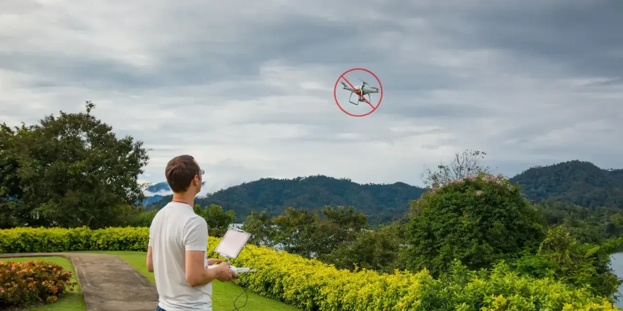
Where drones are off-limits or high-risk in Connecticut
This is the section that saves people from expensive mistakes. Connecticut Department of Energy and Environmental Protection rules prohibit drones on state parks, state forests, and other DEEP-controlled lands unless the Commissioner specifically authorizes the flight through a Special Use License. The state also restricts drone operation over a municipality’s public water supply, and the newer critical-infrastructure rule adds a buffer around some of the most sensitive sites in the state.
| Location | Why it matters | What I would do |
|---|---|---|
| State parks and forests | DEEP bans drones there because of safety, noise, and wildlife concerns | Assume no flight unless you have a Special Use License |
| Municipal public water supply areas | State law restricts flights over them | Verify the boundary on a map before launching anywhere nearby |
| Critical infrastructure | Connecticut now restricts flights less than 250 feet above ground level or within 100 horizontal feet, and bans surveillance of these sites | Keep clear unless your operation clearly fits an exception |
| Controlled airspace near airports | FAA authorization is required before you fly there | Use LAANC or DroneZone before takeoff |
| Private property, campuses, venues | Airspace may be legal, but access and privacy still matter | Get permission from the owner or operator |
The critical-infrastructure list is broader than many pilots expect. It includes sites such as electrical generating facilities, substations, switchyards, correctional facilities, telecommunications central offices or wireless telecommunications infrastructure, commercial ports, harbors, and rail facilities. Connecticut treats violations of that rule as a class A misdemeanor, punishable by up to 364 days in jail, a fine of up to $2,000, or both. There are exceptions for certain authorized work, but I would not treat those sites as casual flyovers. With the no-fly zones clear, the remaining question is what changes when the drone is being used for business.
What commercial pilots need to add
When the flight is for work, the compliance bar goes up fast. Under Part 107, you need a Remote Pilot Certificate, and the drone must still stay within the FAA’s operating rules unless you have a waiver or a specific authorization. I also treat insurance, client permissions, and a written safety plan as part of the real-world checklist, even when the law does not spell every one of those out line by line.
| Work-flight issue | Why it matters | Practical note |
|---|---|---|
| Night operations | Allowed under Part 107 if the lighting and training requirements are met | Anti-collision lights must be visible for 3 statute miles. |
| Operations over people or moving vehicles | Permitted under Part 107 in certain categories and conditions | Know your aircraft category before promising a shot. |
| Beyond visual line of sight | Usually needs a waiver or another specific authority | That is a planning problem, not something to improvise on site. |
| Controlled airspace | Still requires authorization even for commercial work | LAANC is often the fastest path, but not the only one. |
This is where a lot of people overestimate what the drone itself can do and underestimate what the paperwork has to prove. If you are mapping a roof, inspecting a tower, filming a property listing, or supporting public-safety work, I would treat the FAA certificate and the airspace request as equally important. That is also why I prefer a checklist, not memory, before every takeoff.
The checklist I would use before every Connecticut flight
- Decide whether the flight is recreational or Part 107 before you touch the controller.
- Check the launch point, the flight path, and the landing spot on a map and on the ground.
- Verify that you are not on DEEP land, over a municipal water-supply area, or inside a critical-infrastructure buffer.
- Check the airspace with B4UFLY or LAANC, especially near airports.
- Make sure registration, TRUST or Remote Pilot Certificate, and Remote ID are all in order.
- Review weather, NOTAMs, crowd conditions, and anything that could force a diversion.
- Carry proof of the documents you need, not just the drone itself.
The point of the checklist is not bureaucracy for its own sake. It gives you a disciplined order: purpose first, place second, airspace third, paperwork fourth. When I follow that sequence, I catch most mistakes before the motors ever spin up, and that is the easiest way to stay on the right side of the rules. Once that sequence becomes habit, Connecticut’s rules are much easier to live with.
The safest way to fly in Connecticut in 2026
The best habit I can recommend is also the least dramatic one: assume every Connecticut flight needs three checks, not one. Check the drone rules, check the ground restrictions, and check the airspace. That single habit covers most of the mistakes people make with drones here, from park flights that should never have launched to airport-adjacent jobs that needed an authorization they never requested.If I were flying regularly in Connecticut, I would keep one rule in mind above all the others: do not rely on assumptions about open space. In this state, the legal question is rarely just about altitude; it is about who controls the land, what sits beneath the flight path, and whether FAA authorization is needed. Get those three pieces right and the rest becomes manageable.